Skip to main content
facebook
youtube
email
Search
Close Search
search
account
Menu
About
About Us
About The PCF
History
Vision & Mission
Board of Directors
Check Us Out
Contact Us
Supporters
Support for PCF Member Projects
Members
Login Page
What We Do
Prairie Conservation Action Plan
Education Programs
Transboundary Grasslands Partnership
State Of The Prairie
Connectivity
Range Stewardship
MULTISAR
Isolated Native Prairie Habitats
Industry Recommendations & Guidelines
Status of Biodiversity
Publications
Annual Reports
Research & Information
Occasional Papers
Prairie Notes
Events
PCF Spring 2026 Meeting
Onefour Research Ranch Field Tour
Past PCF Meetings and Tours
Webinars
Prairie
About The Prairie
Alberta’s Natural Areas
Grassland & Parkland Natural Regions
Inventories
About the Inventories
Native Prairie Vegetation Inventory (NPVI)
Grassland Vegetation Inventory (GVI)
Alberta Township Survey
Join
Become A Member
Member Organizations
Become A Volunteer
search
account
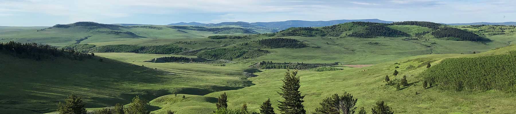
Native Prairie Vegetation Inventory
Home
»
Native Prairie Inventories
»
Native Prairie Vegetation Inventory
For information about Native Prairie Vegetation Inventory (NPVI) please visit
Native Prairie Vegetation Inventory
Post Views:
2,715
Close Menu
About
About Us
About The PCF
History
Vision & Mission
Board of Directors
Check Us Out
Contact Us
Supporters
Support for PCF Member Projects
Members
Login Page
What We Do
Prairie Conservation Action Plan
Education Programs
Transboundary Grasslands Partnership
State Of The Prairie
Connectivity
Range Stewardship
MULTISAR
Isolated Native Prairie Habitats
Industry Recommendations & Guidelines
Status of Biodiversity
Publications
Annual Reports
Research & Information
Occasional Papers
Prairie Notes
Events
PCF Spring 2026 Meeting
Onefour Research Ranch Field Tour
Past PCF Meetings and Tours
Webinars
Prairie
About The Prairie
Alberta’s Natural Areas
Grassland & Parkland Natural Regions
Inventories
About the Inventories
Native Prairie Vegetation Inventory (NPVI)
Grassland Vegetation Inventory (GVI)
Alberta Township Survey
Join
Become A Member
Member Organizations
Become A Volunteer
facebook
youtube
email
Alberta Prairie Conservation Forum
Welcome back
Sign In
Sign in to access your downloads, manage your account, and continue where you left off.
Login Account
Enter your credentials to access your account
Login ID
Password
Enter something special:
Remember Me
Forgot Password?
Sign In
Don't have an account?
Register Now